Central Florida is best understood as the middle band of the state centered on Orlando and the I-4 corridor. There is no single legal boundary, but the most accepted core is the Orlando-Kissimmee-Sanford metro area, which includes Orange, Osceola, Seminole, and Lake counties. In wider use, Central Florida can also include Polk, Volusia, Brevard, Sumter, Marion, and nearby counties.
If you want the short answer: Core Central Florida = Orange, Osceola, Seminole, and Lake counties.
If you mean the broader travel and planning region, it can stretch from Tampa to Daytona Beach along I-4, with Orlando in the center.
What Is Central Florida, In Plain Terms?
Central Florida is not a formal legal region with fixed borders. It is a vernacular region, which means people, planners, and agencies use the name in slightly different ways depending on the purpose.
The most stable definition is the Orlando metro core. That is where jobs, commuting, and daily travel are most tied together. From there, the meaning expands outward.
Central Florida is usually tied to:
- Orlando
- The I-4 corridor
- Theme park and tourism areas
- Suburban counties around Orlando
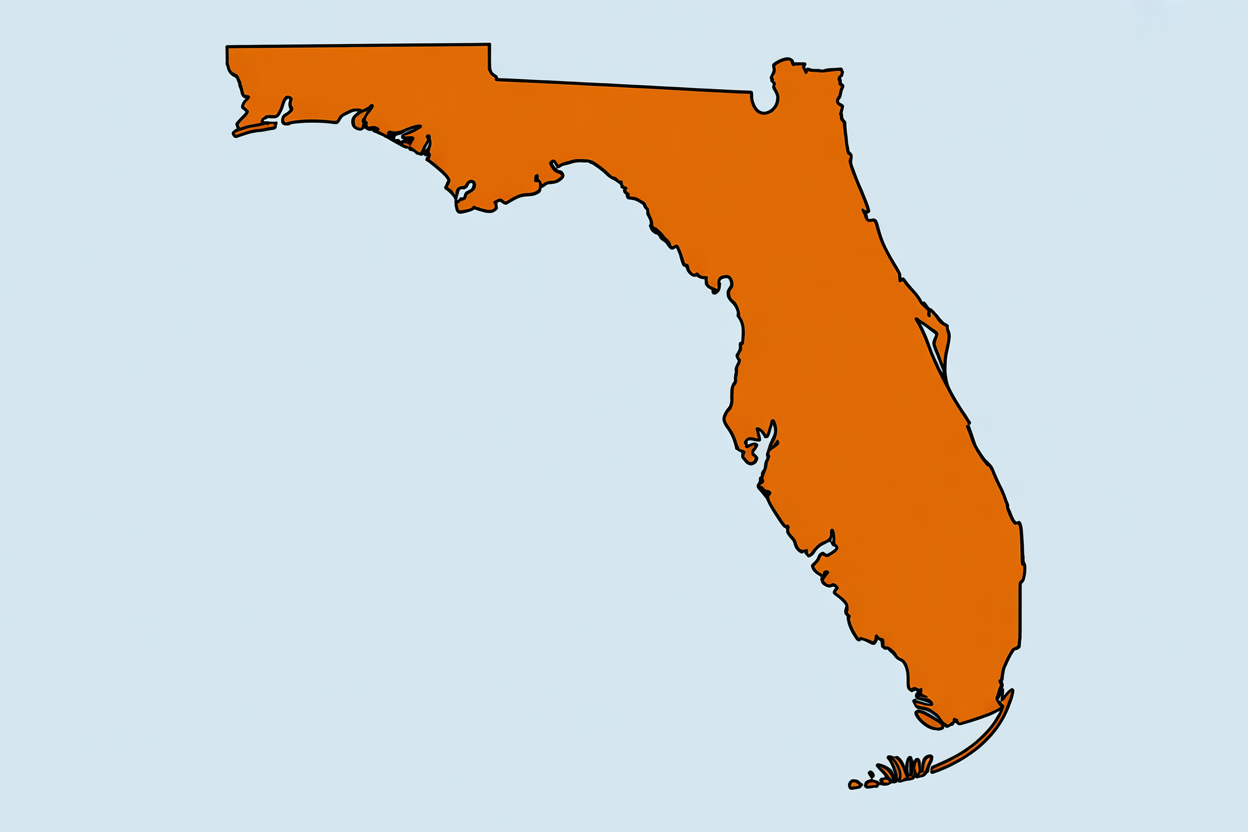
Central Florida on the Map
Central Florida sits in the middle of the Florida peninsula. It runs from the Gulf side near Tampa east to the Atlantic side near Daytona Beach.
The region is centered around Orlando, which sits at about 28.538336, -81.379234.
| Central Florida At a Glance | |
|---|---|
| Core center | Orlando |
| Core counties | Orange, Osceola, Seminole, Lake |
| Main highway spine | Interstate 4 (I-4) |
| West edge | Tampa / I-275 interchange |
| East edge | Daytona Beach / I-95 and SR 400 |
| Region type | Informal / vernacular |
Core Central Florida Counties and Their Main Cities
The most widely used government-based core is the Orlando-Kissimmee-Sanford Metropolitan Statistical Area. It includes four counties:
1. Orange County
Main cities and places:
- Orlando
- Winter Park
- Maitland
- Ocoee
- Apopka
- Belle Isle
- Edgewood
- Oakland
- Windermere
2. Osceola County
Main cities and places:
- Kissimmee
- St. Cloud
- Buenaventura Lakes
3. Seminole County
Main cities and places:
- Sanford
- Altamonte Springs
- Casselberry
- Longwood
- Lake Mary
- Oviedo
- Winter Springs
4. Lake County
Main cities and places:
- Clermont
- Leesburg
- Tavares
- Mount Dora
- Eustis
Core Central Florida counties:
- Orange
- Osceola
- Seminole
- Lake
These four counties are the clearest answer if you want the most accepted core definition.
What Defines the Boundaries?
There is no official statewide border for Central Florida. For practical use, the region is shaped by the I-4 corridor and by county groupings used in planning.
Approximate regional edges
| Edge | Common reference point |
|---|---|
| West | I-275 interchange in Tampa |
| East | I-95 in Daytona Beach, then SR 400 to US 1 |
| North | Around State Road 40 or the Volusia/Marion county lines |
| South | Around Polk County, with some broader views extending farther inland |
Geographic coordinates
There are no universally fixed latitude and longitude lines that legally mark Central Florida’s borders. Since the region is informal, the edges move based on the map being used.
The only widely cited fixed coordinate in the research is the center point:
- Orlando: 28.538336, -81.379234
Why the I-4 Corridor Defines Central Florida
Interstate 4 is the main line that ties Central Florida together. It runs 132.3 miles from Tampa to Daytona Beach.
I-4 corridor basics
| Item | Detail |
|---|---|
| Western start | I-275 interchange in Tampa |
| Eastern end | I-95 in Daytona Beach |
| Road extension | About 4 more miles as SR 400 to US 1 |
| Total span | 132.3 miles |
| Typical nonstop drive | About 2.2 hours at 60 mph |
| Main hubs | I-75, US 27, Florida’s Turnpike, I-95 |
The corridor connects the main population and job centers of the region:
- Tampa / Brandon
- Lakeland / Polk County
- Orlando
- Daytona Beach
For many people, if a place sits on or near I-4, it belongs in Central Florida.
Which Counties Are Included by Different Agencies?
Different agencies use different county sets depending on why they are drawing the region.
| Agency or use | Counties included |
|---|---|
| Census-based metro core | Orange, Osceola, Seminole, Lake |
| FDOT / Enterprise Florida economic and transportation use | Metro core plus Volusia, Brevard, Polk, Sumter, Citrus, Hernando, Hillsborough, Pasco, Pinellas |
| FDEP environmental use | Metro core plus Volusia, Brevard, Sumter, Marion, Indian River |
| DCF Circuit 9/18 social services use | Orange, Osceola, Seminole, Brevard |
What this means
- Government agencies do not use one single Central Florida map
- County membership is the main test
- There are no fixed population density or commuting percentage rules listed in the research
- Inclusion is based on planning convention, not a score or formula
Cities Commonly Included in Central Florida
If you are trying to place a city, these are the most common Central Florida cities by county.
| County | Common Central Florida cities |
|---|---|
| Orange | Orlando, Winter Park, Maitland, Ocoee, Apopka, Windermere |
| Osceola | Kissimmee, St. Cloud, Buenaventura Lakes |
| Seminole | Sanford, Lake Mary, Altamonte Springs, Oviedo, Longwood, Casselberry, Winter Springs |
| Lake | Clermont, Leesburg, Tavares, Mount Dora, Eustis |
| Polk | Lakeland, Winter Haven |
| Volusia | Daytona Beach, DeLand, New Smyrna Beach |
| Brevard | Melbourne, Titusville, Cocoa |
| Sumter | The Villages |
| Marion | Ocala |
Broader Central Florida
Beyond the core, many maps add nearby counties that have strong ties to Orlando, tourism, logistics, or state planning.
Common additions
- Polk County: Lakeland, Winter Haven
- Volusia County: Daytona Beach, DeLand
- Brevard County: Melbourne, Titusville, Cocoa
- Sumter County: The Villages
- Marion County: Ocala
These counties may be included when the topic is:
- tourism
- transportation
- commuting
- economic planning
- media markets
Central Florida vs North Florida vs South Florida
Florida is often split into three broad regions.
| Region | General feel | Common anchor areas |
|---|---|---|
| North Florida | More Southern in feel | Jacksonville, Gainesville, Tallahassee |
| Central Florida | Orlando-centered, tourism and suburbs | Orlando, Lakeland, Daytona Beach |
| South Florida | Strong Caribbean and Latin American influence | Miami, Fort Lauderdale, West Palm Beach |
Simple rule
- South of Lake Okeechobee is usually South Florida.
- Around Orlando and the I-4 corridor is Central Florida.
- Farther north and west begins to shift toward North Florida or the Tampa Bay region.
Simple Rules of Thumb
If you are trying to decide whether a place belongs in Central Florida, use these rules:
- On or near I-4? Usually yes.
- Tied to Orlando jobs or commuting? Usually yes.
- In Orange, Osceola, Seminole, or Lake County? Yes, in the core definition.
- In Polk, Volusia, Brevard, Sumter, or Marion? Often yes, in broader definitions.
- South of Lake Okeechobee? Usually no.
Quick Answers
Is Tampa in Central Florida?
Not usually. Tampa is the west end of the I-4 corridor and is usually treated as part of the Tampa Bay region.
Is Orlando in Central Florida?
Yes. Orlando is the center of Central Florida.
Is Daytona Beach in Central Florida?
Yes. It is the east end of the I-4 corridor.
Is the Space Coast in Central Florida?
Often yes in broader definitions, especially Brevard County.
Is Ocala in Central Florida?
Sometimes. It is often treated as the northern edge of the region.
How many counties are in Central Florida?
The core has 4 counties. Broader uses may include 8 to 10 or more.
Bottom Line
If you want the most accepted answer, Central Florida is the Orlando-centered region made up of Orange, Osceola, Seminole, and Lake counties. That is the core.
If you are using the term more broadly, Central Florida can also include Polk, Volusia, Brevard, Sumter, Marion, and other nearby counties tied to the I-4 corridor.
The clearest edge points are:
- West: Tampa / I-275
- Center: Orlando
- East: Daytona Beach / I-95 and SR 400
So, for most practical uses, Central Florida is the stretch of Florida built around Orlando and I-4.